Dawn Wright
Dawn Wright is the Chief Scientist of the Environmental Systems Research Institute (Esri) and is a professor of Geography and Oceanography at OSU. She also maps oceans, undersea volcanoes and hot springs. Dawn has worked as a seagoing marine technician for the international Ocean Drilling Program and is a post-doctoral research associate at the NOAA Pacific Marine Environmental Laboratory in Newport, Oregon.

Q. What inspired you to pursue GIS?
A. I was inspired to pursue GIS while a graduate student at UC Santa Barbara in the early 1990s when GIS was really starting to evolve from not just a mapping technology, but a whole field of science, now known as geographic information science or geospatial data science. So it was a FANTASTIC time to be introduced to GIS and to take courses from some of the great innovators of the field there at UCSB.
Q. Who are your primary influential female role models, and how they have influenced your science career?
A. My absolute top female role model is my own mother, an educator in speech communication, but always a beacon of integrity, grace, patience, and good humor. Others who have inspired me include Dr. Sylvia Earle because of her energetic, articulate, and crusading for the oceans and for the entire planet. Her ability to communicate with beauty and passion, as well scientific accuracy, has inspired me. I could go on and on but would also like to salute to Dr. Rachel Haymon, now retired from UCSB as a geology professor who taught me so much about how to lead scientific expeditions at sea and in the lab, and how to be unrelentingly rigorous and careful in doing science.
Q. What do you consider as one of the scientific greatest challenges of our time that has the potential to be addressed using geographic information systems?
A. Communicating science is one heck of a challenge right now, and is so very important in this age where science is being questioned, challenged, put in the category of fake news, etc., all with the stakes so high for our planet. GIS makes a terrific contribution to science communication through story maps.
Q. What are you currently reading?
A. Pieces of Eight by John Drake
Q. Do you have any advice for young women today who would like to begin a career in geospatial sciences, or who are just starting out?
A. – be confident in what they are doing and to know that they are on the path to success in geospatial science because it is such a hot field
– join advocacy groups such as the Esri Young Professionals Network, Young Professionals Network (YPN) | Esri GIS Community where there are so many great resources and meetups
– try your best to find not only a great mentor but an advocate
– try your best to find travel resources to get to conferences such as the UC but also local GIS user group meetings, smaller geospatial tech or science conferences
– get up the courage to present your own work at these conferences, which are also great places to get affirmation and good tips for improving your work
– start a resume or CV
– get your own web presence (web site, blog) and business card
Q. What does a “typical” day as Esri’s chief scientist look like? What are some of your day to day activities?
A. Day to day I’m on email and GeoNet!
But more seriously, the exciting thing about my job at Esri is that it is all about engaging and communicating. For instance, we have a new product manager for 3D mapping and analysis and we got together so that I could share with him the many projects going on under our science initiative and how best to connect him with my network of scientists using our software so that he can develop better use cases which will ultimately lead to improvements in our 3D products to serve scientists. In this meeting we were joined by Jack Dangermond (neat serendipity as he saw us and just sat down) who gave us both an overview of the history of how the company had approached 3D problems in the past, the data structures that had evolved, where we would like to go now given the various needs out there of our users and the disruptive technologies such as drones (in the air AND in the sea) that are game changers, etc. Later I ran into some colleagues who wanted to me show me some neat applications that they were developing for virtual reality mapping experiences (including a spin wearing an Oculus Rift virtual reality headset, and then discussing one of our new collaborations with the Southern California Coastal Water Research Project where we might develop a neat prototype with their estuary data. Another colleague wanted some advice as to where to publish an article based on some new spatial statistical approaches that his group had developed for interpolating data collected by a variety of mobile devices in the field. Of course, I SO spend large portions of every day doing email too! I was attending a panel discussion at a conference and as the distinguished panelists introduced themselves (“I’m XX and I’m a marine ecologist,” “I’m YY and I specialize in marine spatial planning,” etc., etc.), this one panelist said, “My name is XX and I do email!”
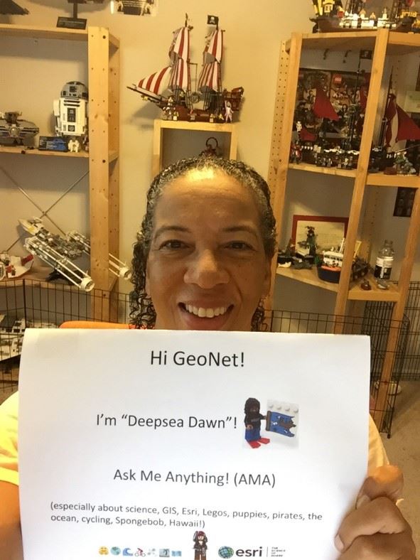
This content is reprinted with permission from Geonet AMA (Ask Me Anything) with Dawn Wright, Esri Chief Scientist session.
To view these contents in entirety, visit : https://community.esri.com/message/730549-join-us-for-a-geonet-ama-ask-me-anything-with-dawn-wright-esri-chief-scientist
Interview compiled by: Denise Wesley